About
Conservation planners have developed extensive tools to identify conservation priorities and guide the development of effective protected areas. However, few account for future shifts in species distributions and rising land demands for energy and food production – despite the importance of these factors for long-term conservation success. As demand for agriculture and renewable energy rises, potential conflicts with natural areas increase, resulting in what’s called a “land squeeze” – demand for more land uses than there is land.
For example, countries across Africa are setting goals for carbon, conservation, development, agriculture, and renewable energy. However, there simply isn’t enough land to reach all these targets. In collaboration with Conservation International, Spatial Planning for Climate Change: Land Use for Conservation, Agriculture, and Energy (SPARCLE) integrates projections of climate-driven species movements with assessments of where land will be needed to meet growing agricultural and energy demands. SPARCLE offers a way to help decision-makers navigate these trade-offs and identify land-use strategies that benefit both biodiversity and people.
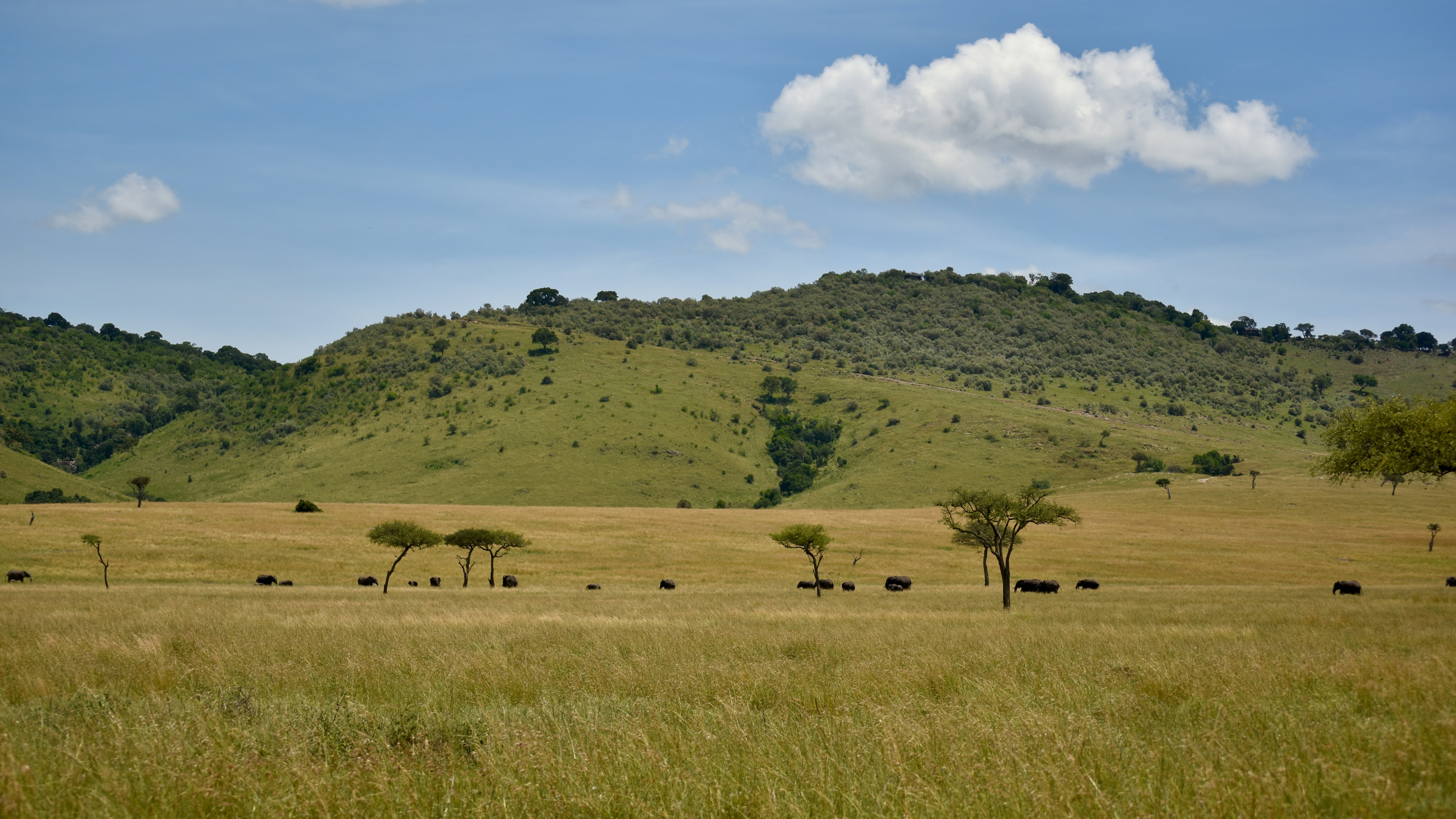
SPARCLE is currently being tailored to key geographies where local priorities and data can inform the modeling approach. Our team is focused on Sub-Saharan Africa, a region expected to undergo rapid population growth this century which will place increasing pressure on its unique and biodiverse land systems. A large component of the Sub-Saharan Africa model is an integrated carbon metric, designed to help identify land-use strategies that minimize carbon losses while meeting human development needs.
